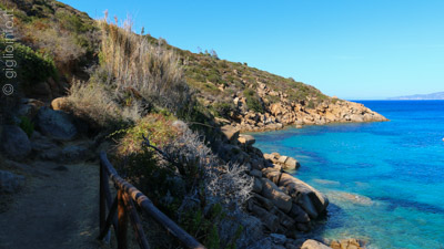
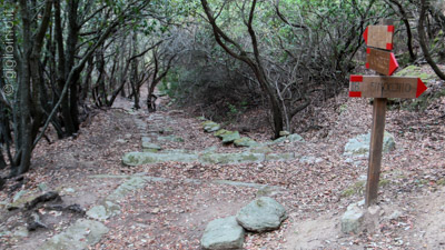
Hiking Trails Giglio Island
The hiking trails on the Isola del Giglio are numerous and can be combined with each other. Below you will find only a selection of some not too difficult and long hiking trails.
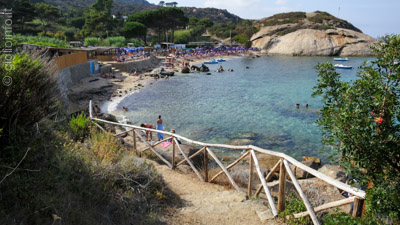
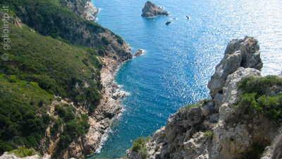
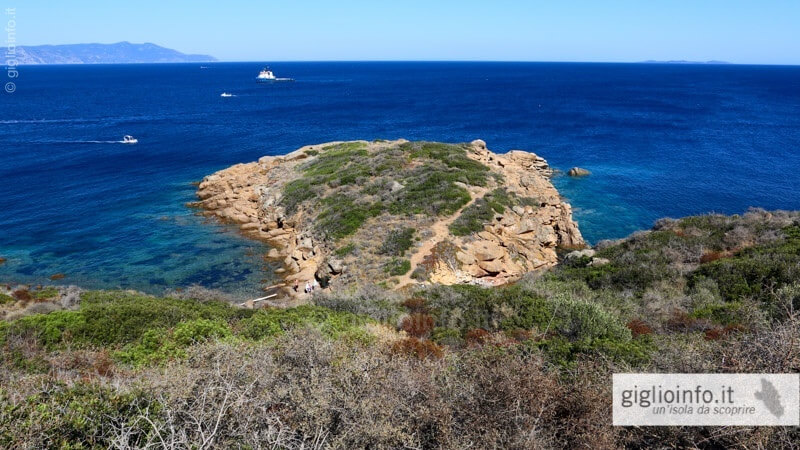
Trail n° 23
(Porto -) Cannelle - Caldane
From the harbour Giglio Porto to the two southern beaches Cannelle and Caldane…
- Journey Time: 20-30 Min.
- Difficulty: easy
- Highest Point: 50 Meter
Trail n° 1a
Giglio Porto - Arenella Beach
From the harbour this hiking trip brings you to the Arenella beach…
- Journey Time: 50 Min.
- Difficulty: moderate
- Highest Point: 102 Meter
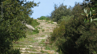
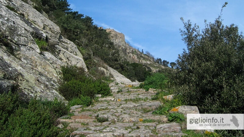
Trail n° 1
Castello - Monticello - Porto
From Giglio Castello the antique Mulattiera (donkey-path) leads down to Giglio Porto …
- Journey Time: 50 Min. (downhill)
- Difficulty: moderate
- Highest Point: 373 Meter
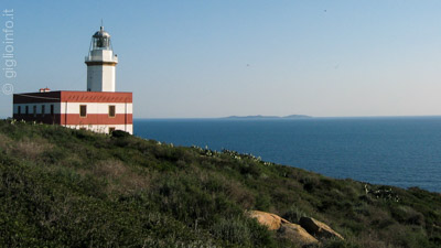
Trail n° 4
Le Vaccarecce (Vecchio Faro) - Scopeto
A round-trip along the two shady pine forests of the island, also ideal for picnics…
- Journey Time: 1 h (roundtrip)
- Difficulty: moderate
- Altitude: downhill 128 m, uphill 128 m
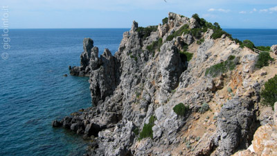
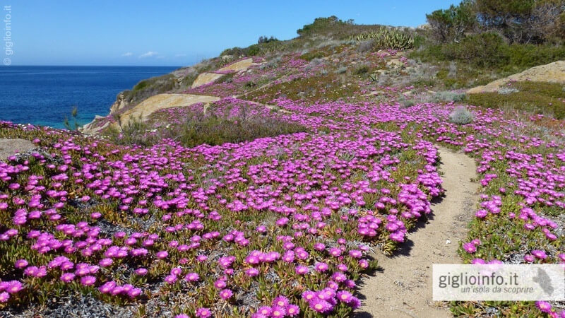
Trail n. 15
Giglio Campese - Faraglione
Easy path without altitude differences along the coastline of the Bay of Campesee…
- Journey Time: 50 min (roundtrip)
- Difficulty: Easy
- Highest Point: 38 meter
Trail n. 16
Giglio Campese - Cala dell'Allume
After a few minutes you you suddenly arrive on the top of the cliff of the Allume. …
- Journey Time: 40 min.
- Difficulty: Easy
- Highest Point: 64 m.
see above, hiking trail 301
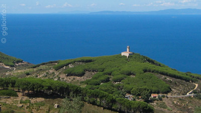
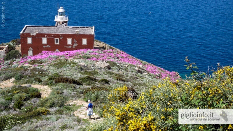
Trail n. 28a
Giglio Castello - Punta del Capel Rosso
From Castello to the southern tip, the Punta del Capel Rosso, with it's lighthouse…
- Journey Time: 1h (roundtrip)
- Difficulty: Easy
- Highest Point: 163 m.
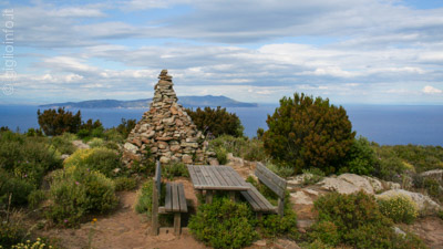
Trail n. 25/27
Giglio Castello - Poggio del Sasso Ritto
Beautiful walk on Giglio's mountain crest to the Poggio del Sasso Ritto…
- Journey Time: 2h40 (roundtrip)
- Difficulty: Easy
- Highest/Lowest Point: 408/360 m.
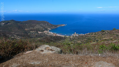
Trail n. 12
Giglio Castello - Giglio Campese
Trail n. 12 is one of the four antique recovered trails that link Castello with Campese…
- Journey Time: 40 min. (downhill)
- Difficulty: Easy (downhill)
- Altitude: 348 m.
Trail n° 17
Giglio Castello - Giglio Campese
In alternative to trail 12 this path is a shadu alternative to get from Giglio Castello…
- Journey Time: 1 h (downhill)
- Difficulty: Easy (downhill)
- Altitude: 358 m.
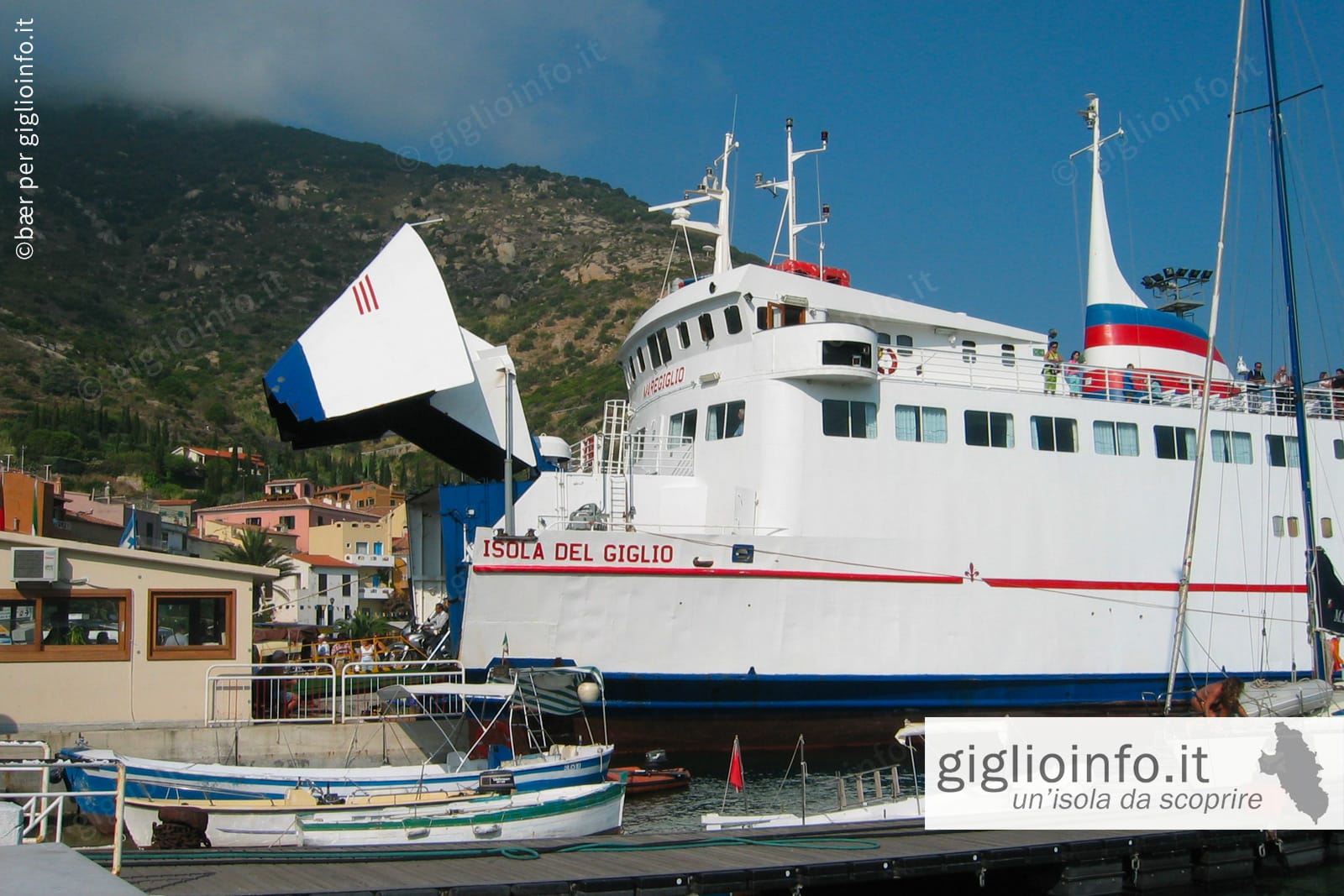
Ferry to Giglio: timetables...

Tours, excursions and guided tours...

Restaurants and Pizzeria on Giglio...
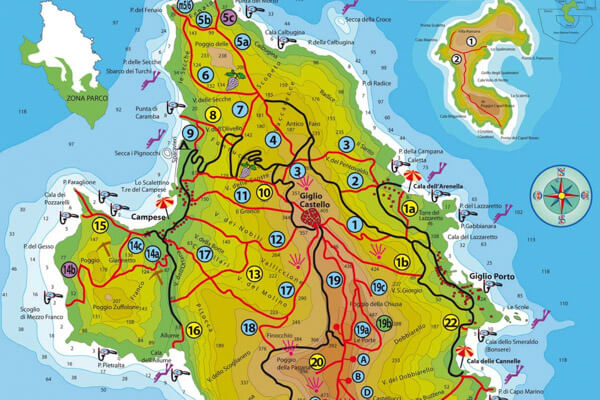
Maps of Giglio island with hiking...

What to see - Villages Giglio...
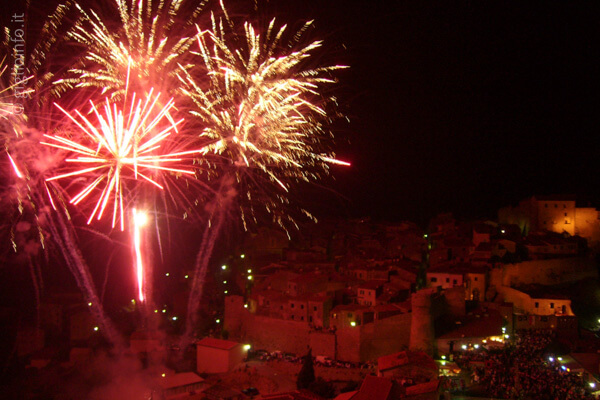
Events on Giglio Island...

Boat round trip of the island...

Lido on the 4 main beaches...
